Nuuksio National Park Hiking Trails and Trail Maps
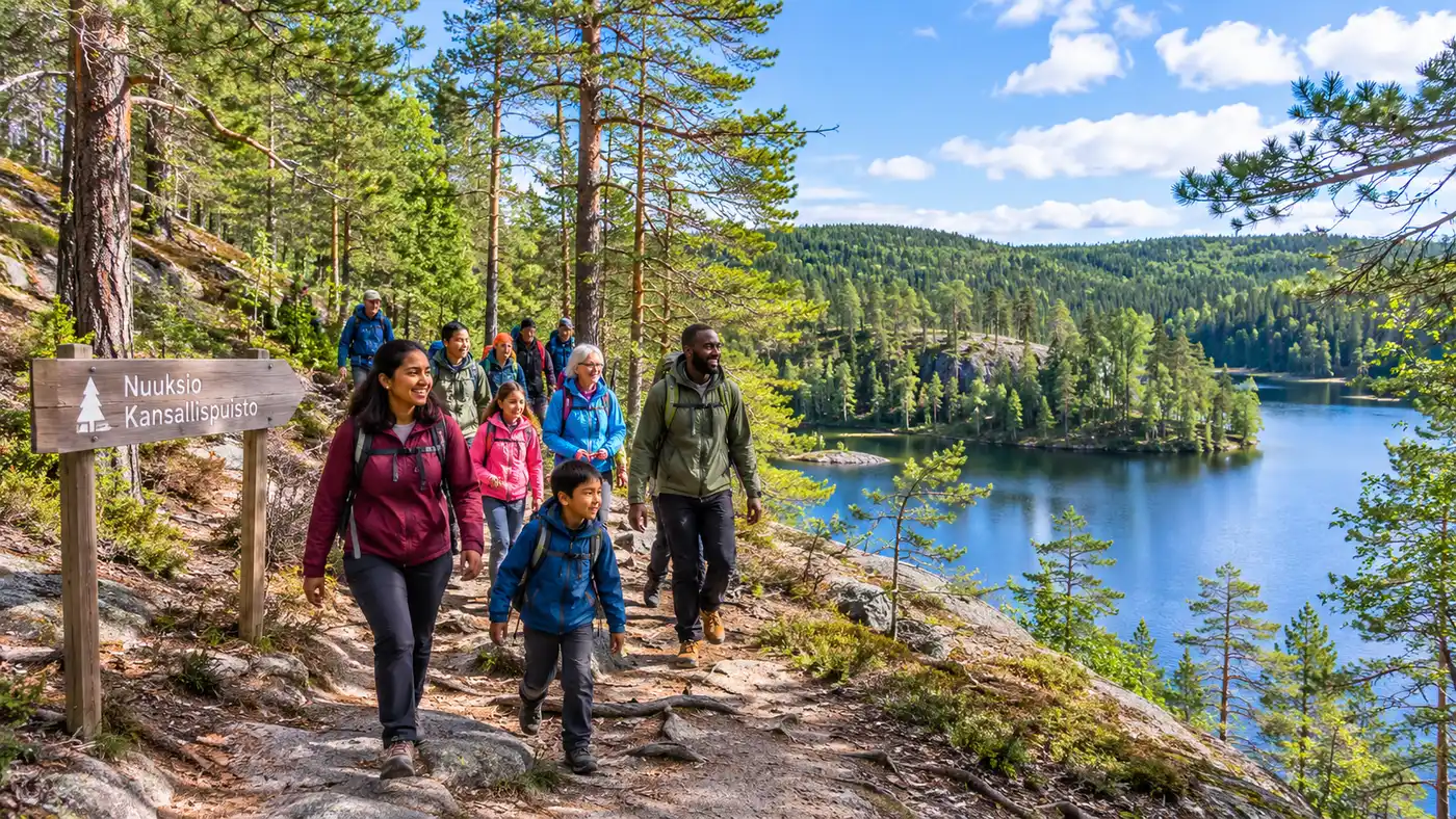
Forty minutes outside the capital, the concrete dissolves into granite ridges and deep, tea-colored lakes. Most visitors head straight for the main trailheads expecting a quiet walk, then end up circling Haukkalampi with a hundred other weekenders. Exploring the network of nuuksio national park hiking trails takes a bit of planning if you want actual wilderness rather than a crowded gravel stroll. The park protects a pocket of ancient southern boreal forest, filled with aspen, pine bluffs, and sudden marshlands that feel remote despite being right on Helsinki's doorstep.
Every corner of this landscape was carved by the last Ice Age. Glacial melt gouged deep fracture valleys across western Uusimaa, leaving steep rock cliffs perched above long, narrow water bodies. Walking here means climbing rocky slopes, ducking under storm-fallen spruce trees, and stepping carefully across slippery pine roots. This guide breaks down the marked loops, trail markers, map choices, and the quieter corners worth your time.
Book your nuuksio national park experience:
Choosing Your Hub: Haukkalampi vs Kattila
Haukkalampi functions as the park's primary nerve center. If you drive here on a Saturday afternoon in July, finding a spot in the gravel lots requires patience, and cars often back up along the narrow approach road. Despite the crowds, it remains the most practical starting point for first-time visitors. The rustic timber cabin serves as an information point and small cafe during the warm season, renting out watercraft and offering basic trail advice. From the shoreline of Haukkalampi nuuksio national park lake, trails fan out in three directions, letting you string together short strolls or full-day excursions without complicated logistics.
Kattila sits further north at the end of the paved road. It has a completely different mood. An old farm manor built in the early 20th century anchors the clearing, surrounded by rolling meadows and tall heritage trees. Far fewer casual walkers make it up here. Kattila nuuksio national park serves as the northern gateway into wilder terrain, connecting directly to the seven-kilometer Takala trail and the long-distance connections toward Salmi. If you prefer quiet mornings with only woodpeckers breaking the silence, start at Kattila instead.
There is also the eastern approach near the Finnish Nature Centre Haltia. Haltia itself is an architectural showpiece of curved timber overlooking Lake Pitkäjärvi, but the hiking trails directly adjacent to the building are steep and mostly serve as connectors into the national park proper. If you rely on public transit, you might get off the bus at Haltia, visit the exhibitions, and then follow the connecting path uphill into the park. Details on bus timetables and connections are laid out in our guide on how to get to Nuuksio from central Helsinki.
Pro tip: If the upper lot at Haukkalampi is blocked off, park at the Valklampi or Kolmoislampi peripheral areas instead of idling in your car. The 1.5-kilometer access trail from Valklampi leads through gorgeous mossy hollows that most day-trippers never see.
The Best Hikes in Nuuksio National Park: Loop by Loop
Nuuksio relies on a clear, color-coded trail system. Wooden posts stamped with specific geometric shapes and bright paint keep you on track, which matters because the maze of unofficial deer runs and herd paths can easily mislead an inattentive walker. A comprehensive nuuksio national park hiking guide divides the marked trails into distinct characters, ranging from gentle shoreline promenades to calf-burning ridge paths.
The Punarinnankierros trail (Red Robin trail) covers roughly 2.4 kilometers marked with red diamonds. It loops around small forest ponds and traverses open granite bedrock. Families love this route because it is short, yet it packs classic Finnish scenery into an hour of walking. You will cross boardwalks over damp moss patches and find a popular campfire ring right beside Mustalampi lake, complete with floating peat turf islands that drift slowly when the wind picks up.
If you want sweeping views, the nuuksio national park haukankierros trail is the undisputed star among day walks. Marked with blue squares for 3.8 kilometers, the path wastes no time climbing steep wooden stairs up the granite bluffs overlooking Haukkalampi. The viewpoint at the cliff edge gives you an uninterrupted look across the dark water and dense spruce forest below. Descending the far side brings you into a dark, humid gorge where moss hangs from damp rock faces. It takes about an hour and a half at a steady pace, though you will probably stop frequently to take photos.
For a quieter, longer circuit, jump onto Korpinkierros. Stretching over seven kilometers with yellow circle markers, this path leads away from the hubbub at Haukkalampi toward the rocky margins of Holma-Saarijärvi and Kolmoislampi. The terrain rolls relentlessly. You climb over exposed roots, drop down into boggy hollows, and wind around hidden bays. Expect three to four hours for this loop. Packing a sandwich and a thermos of coffee is almost mandatory.
Nahkiaispolku (The Brook Lamprey Trail) offers something shorter and wilder. Clocking in at barely two kilometers with yellow diamond markings, it meanders along a shallow forest stream bed. The trail planners deliberately left this route unmanicured: rotting logs lie across the brook, ferns grow waist-high in August, and narrow wooden footbridges wobble gently under your boots. It feels like primeval woodland, showing off natural restoration work where old drainage ditches have been filled in to bring back original wetlands.
| Trail Name | Distance | Marker Color | Difficulty | Average Time | Main Trailhead |
|---|---|---|---|---|---|
| Punarinnankierros | 2.4 km | Red diamond | Easy to moderate | 1 hour | Haukkalampi |
| Haukankierros | 3.8 km | Blue square | Moderate (stairs, rocks) | 1.5 to 2 hours | Haukkalampi |
| Korpinkierros | 7.2 km | Yellow circle | Moderate to demanding | 3 to 4 hours | Haukkalampi or Siikaniemi |
| Nahkiaispolku | 2.0 km | Yellow diamond | Moderate (uneven ground) | 1 hour | Haukkalampi |
| Takala Trail | 1.5 km (one-way) | Orange circle | Easy to moderate | 1 hour return | Kattila |
| Klassarinkierros | 3.9 km | Violet circle | Moderate | 1.5 hours | Valklampi / West side |
The western section of the park hosts Klassarinkierros, an underappreciated 3.9-kilometer loop marked in violet. Starting near Valklampi, it climbs Klassarkallio, one of the highest elevations around. When looking at a nuuksio national park map summet lines and topographic contours show you this is not an alpine peak, but the granite bluff still rises steeply enough above Lake Saarilampi to give you a genuine sense of solitude.
Reading the Nuuksio National Park Map and Markers
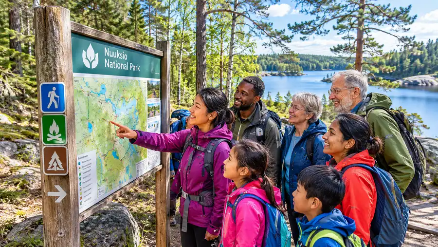
Getting turned around in southern Finland is surprisingly easy if you lose the trail. The trees look remarkably similar in every direction, the sky is often blanketed with uniform gray clouds, and the crags block distant landmarks. Carrying a reliable nuuksio national park trail map is basic common sense. You can buy a durable Tyvek topographic map at Haltia or Haukkalampi for roughly twenty euros, which will not turn to mush if an autumn drizzle catches you by surprise.
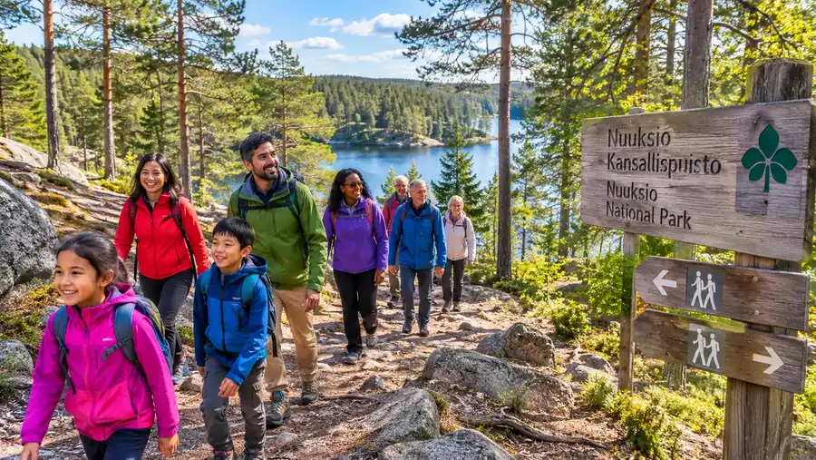
Physical trail posts stand at every critical junction. They carry directional arrows, distance numbers to the next shelter, and colored symbols matching the loops mentioned above. Even with clear posts, small user-created shortcuts create confusing intersections near popular lookouts.
- Digital mapping apps: Download offline maps on apps like Maps.me, Gaia GPS, or the official Finnish Retkikartta portal before boarding the bus, as cellular coverage drops to one bar in low rock gullies.
- Topographic color cues: On a printed nuuksio national park hiking map, white areas denote bare rock flats, while blue striped patterns highlight treacherous peat swamps you should never try to cross directly.
- Junction signposts: Metal and painted wooden plaques show trail names in Finnish and Swedish alongside distance estimates measured in kilometers, not walking hours.
- Emergency boundary signs: Small metal plaques on trees display coordinate numbers every few kilometers, providing exact GPS markers to give emergency responders if someone twists an ankle on wet stones.
A good nuuksio national park map also marks designated dry toilets, woodsheds, and water points. Trusting free phone apps alone can backfire when freezing temperatures drain battery life in twenty minutes flat during late October.
Note: Surface water from the park's lakes and streams looks clean, but it is untreated forest runoff containing organic matter. Boil lake water vigorously for at least three minutes, or use a proper hollow-fiber membrane filter before drinking.
Book your nuuksio national park experience:
Overnight Nuuksio National Park Trekking and Wild Camps
You can turn casual afternoon strolling into a genuine weekend adventure. Nuuksio national park trekking requires packing light, respecting local campfire laws, and knowing where overnight pitching is permitted. The southern areas fill up fast, but the northern ridges toward Salmi offer wide spaces where you can pitch a tent or hang a lightweight hammock beneath mature spruce boughs.
Whether you call it extended forest trekking or casual treaking among the granite ponds, the park allows free camping at designated tent sites. Holma-Saarijärvi features two separate camping zones on opposite sides of the water, equipped with wooden firewood sheds, communal fire pits, and dry composting toilets. Waking up here at sunrise with mist floating off the glassy surface makes lugging an overnight pack up the hills worthwhile.
Before rolling out your sleeping bag, pay close attention to parking regulations and base rules found in our guide to Nuuksio parking and visitor information. Setting up outside designated spots is restricted in the park's central nature reserve zone to protect the fragile lichen and nesting habitat of the Siberian flying squirrel.
Essential Trail Rules, Fireplaces, and Packing
Finland operates under a cherished concept known as Jokamiehenoikeus, or Everyman's Right. It grants broad freedom to wander through forests, forage wild blueberries, and harvest chanterelles. In protected national parks, those universal rights are gently limited to prevent millions of visitors from wearing down the landscape.
Building campfires is strictly confined to official, maintained fireplaces equipped with a concrete ring and metal grill. The forestry agency stocks these sites with birch firewood logs and hand tools. You will find a heavy splitting maul and a wooden buck saw in each shed. Split only the seasoned wood you plan to burn immediately, and leave a few dry kindling sticks ready inside the shed for the next hiker arriving in the rain.
- Fire warning restrictions: Open fires, including charcoal grills and official campfire pits, are strictly prohibited whenever the Finnish Meteorological Institute issues a regional forest fire warning. Gas camp stoves remain permitted.
- Waste disposal: The national park maintains a strict trash-free policy, meaning there are no garbage cans along the footpaths. Everything you carry into the forest must ride back home in your daypack.
- Footwear choices: Leave smooth-soled street shoes at the hotel. Bare granite rocks become remarkably slick when damp, and pine roots require sturdy trail runners or hiking boots with aggressive vibram rubber lugs.
- Dog regulations: Pets are welcome across the entire trail network, but by law they must remain leashed at all times to avoid disturbing local wildlife and other hikers.
Winter transforms the park entirely. Snow coats the granite bluffs starting around December or January, turning standard footpaths into slick icy tracks. Spikes or microspikes become essential on the steep wooden steps of Haukankierros. The pine boughs bend low under heavy rime frost, muffling all sound. Trekking poles provide welcome balance on uneven descents.
Honestly, the shoulder seasons might be my favorite time out here. Late September paints the bilberry bushes in vibrant rusty reds, while cool air keeps the pesky summer mosquitoes away. Walking the quiet northern trails when cold drizzle taps on your waterproof jacket brings out the true, contemplative character of the Finnish woods.
Frequently Asked Questions about nuuksio national park hiking trails
What is the most scenic trail in Nuuksio for a half-day trip?
The 3.8-kilometer Haukankierros loop is widely considered the best choice. It delivers panoramic cliff-top views over Lake Haukkalampi, steep wooden ridge stairs, and mossy hollows in roughly two hours of walking.
Are the hiking trails in Nuuksio suitable for children and beginners?
Yes. Punarinnankierros (2.4 km) and the flat paved connector path between Haltia and Haukkalampi are very manageable. Families should note that rocky sections with exposed roots make standard baby strollers impractical on most trails.
Can I hike in Nuuksio National Park during winter?
You can hike year-round. The primary paths around Haukkalampi remain packed down by frequent foot traffic, but compacted snow turns into slippery ice, so microspikes or traction cleats are strongly recommended between December and March.
Quick Reference
- Entry fee: Free year-round
- Main trailhead: Haukkalampi (toilets, cafe, water)
- Best short hike: Haukankierros (3.8 km, 2 hrs)
- Longest loop: Korpinkierros (7.2 km, 4 hrs)
- Campfires: Allowed only at marked stone pits
Book your nuuksio national park experience:
My Take on Nuuksio
Nuuksio proves that you do not need to journey into the Arctic circle to feel the quiet gravity of Finland's old-growth forest. Grab a morning bus, lace up boots with decent grip, and push beyond the crowded shoreline of Haukkalampi into the northern spruce hollows. The silence waiting on the rock ridges is worth every step.
Read more about nuuksio national park.